Things I Learned in the Peace Corps, Part I

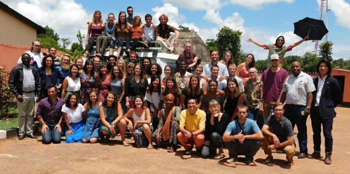
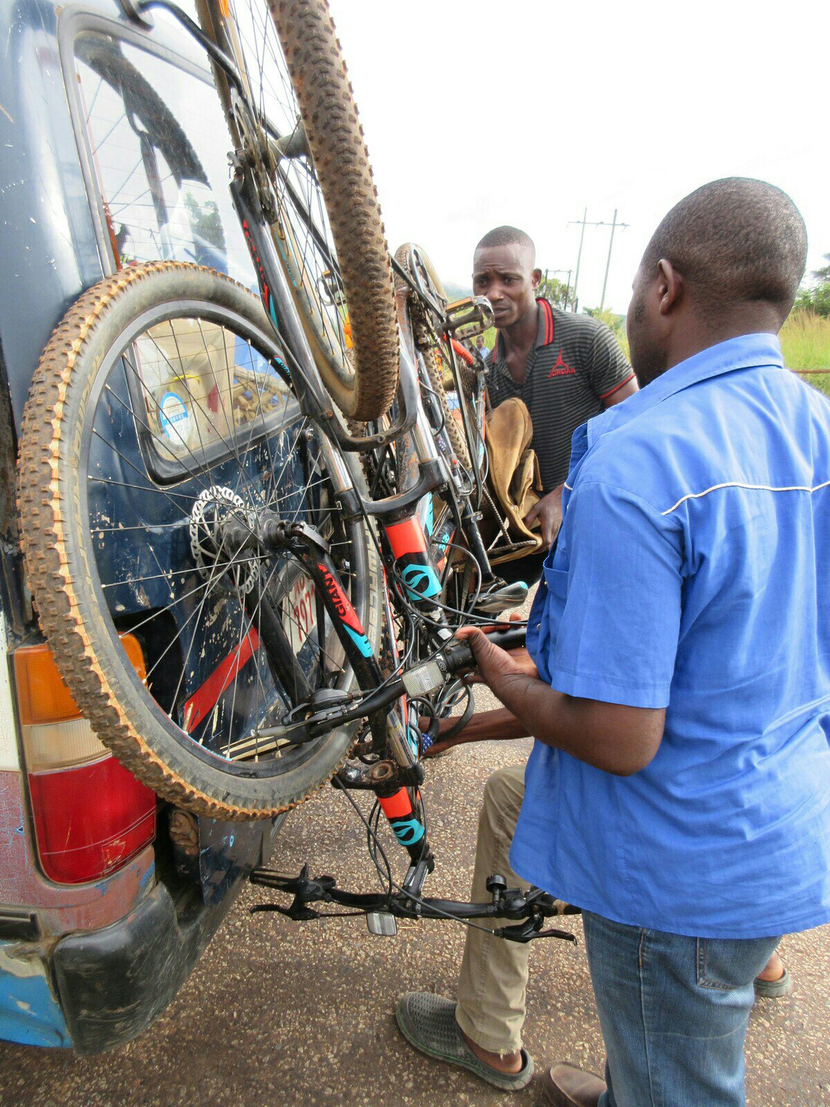
By the time this is published my Peace Corps service will have come to a close. I quit a $130,000/year (plus benefits! and equity!) job to come out here and work for free and it has been worth it. Of the Peace Corps’ three goals, only one of them is actually about providing technical help to countries in need, and the other two are about learning about people and culture. So here are my thoughts about what I learned (stretched out over two posts to cover the weeks I’m on COS trip; whoo COS trip!)

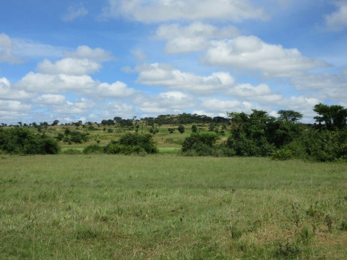
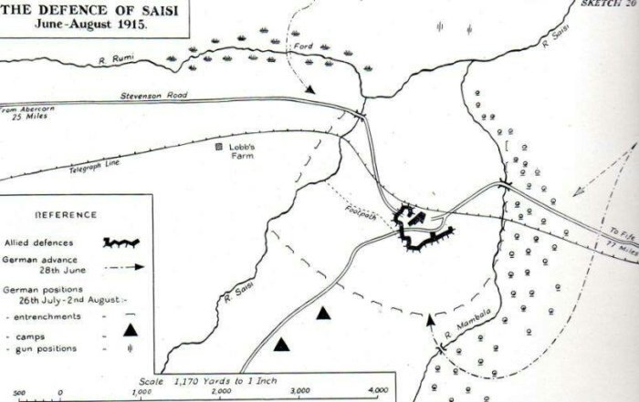
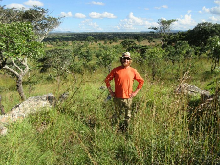
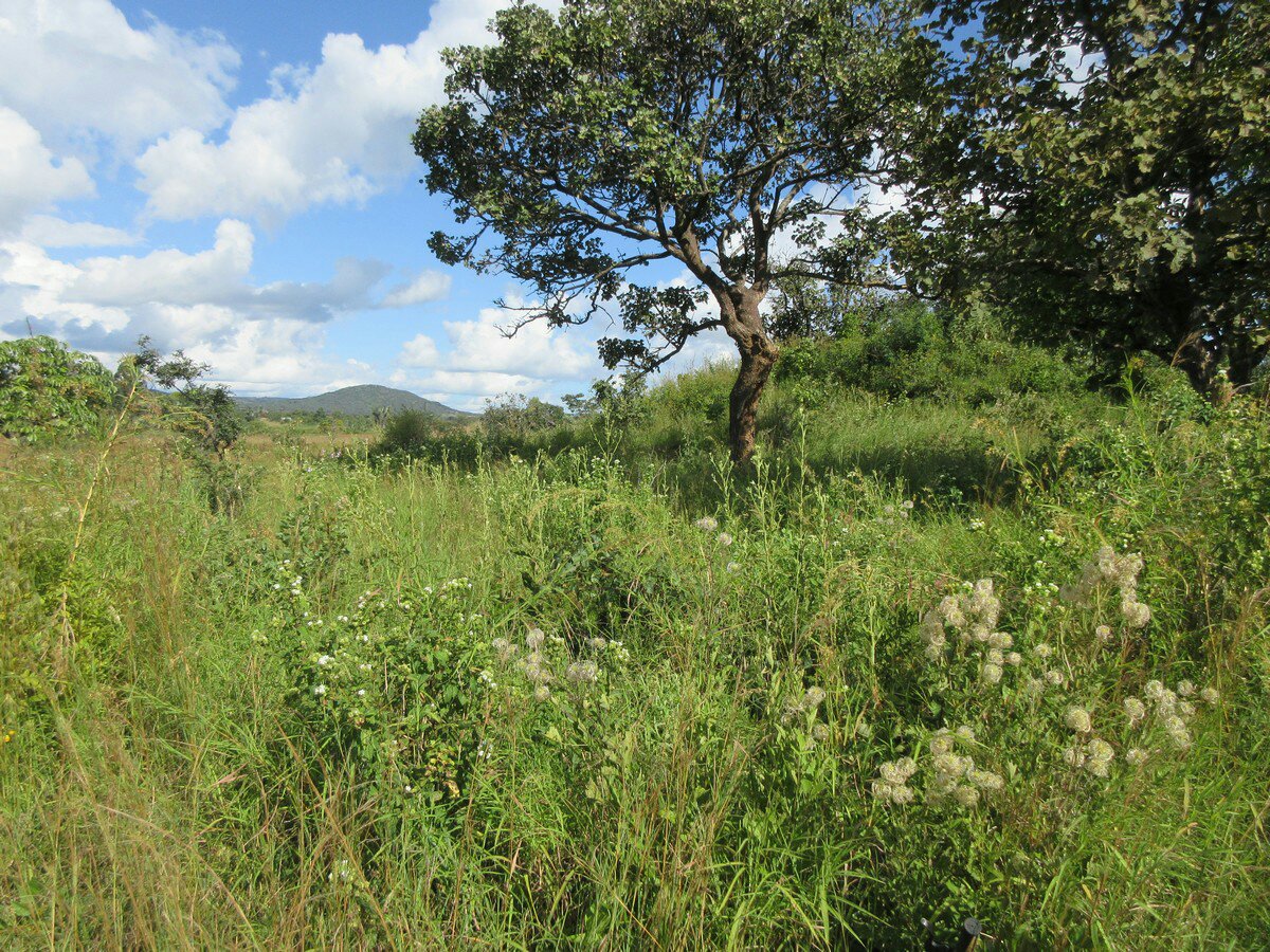
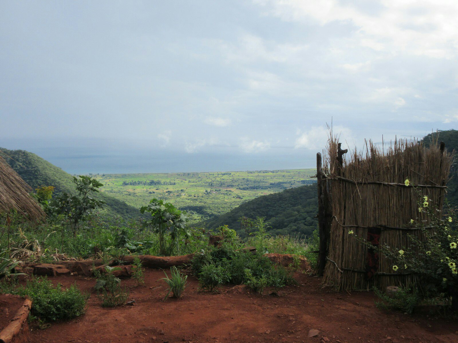
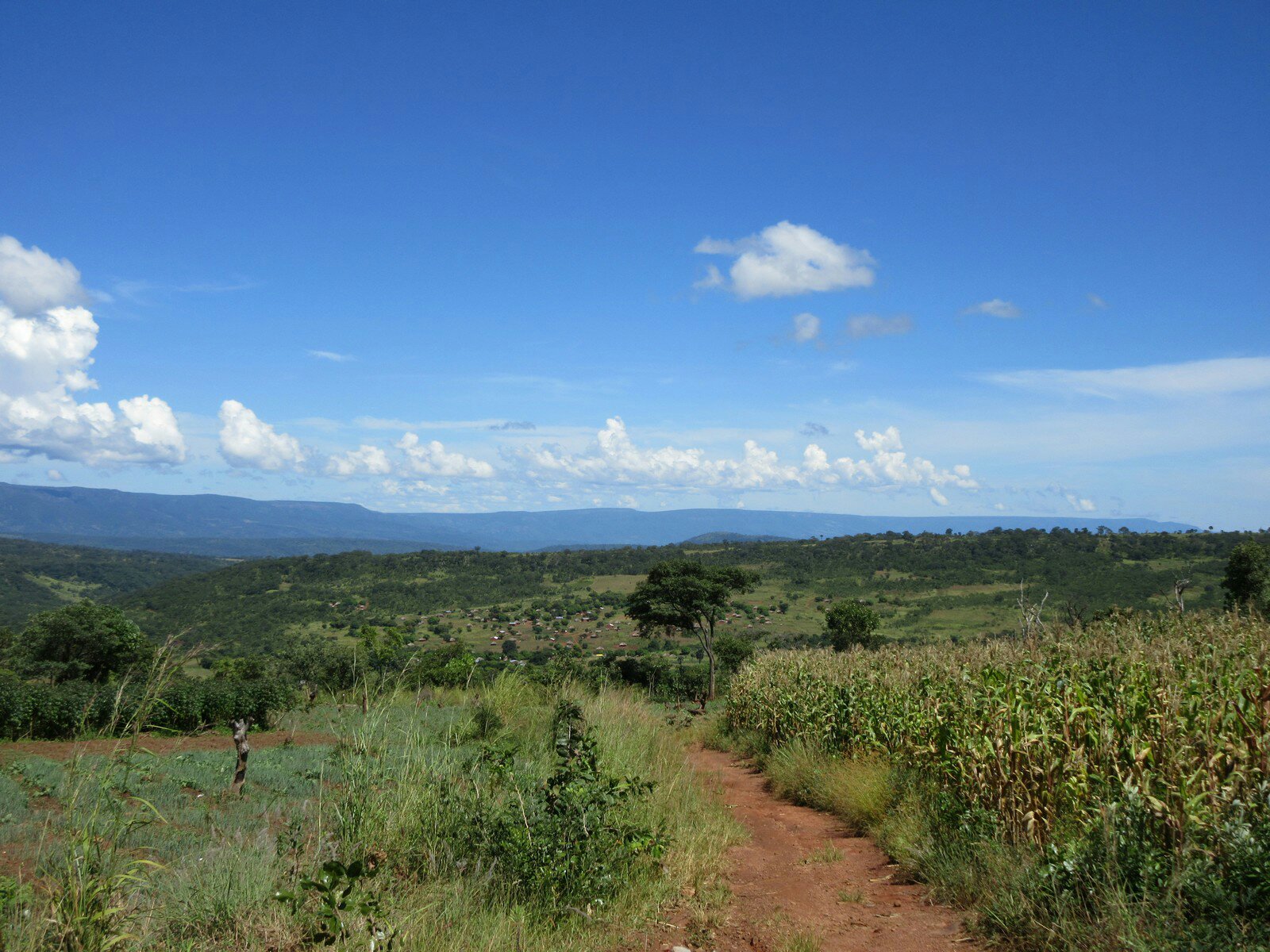
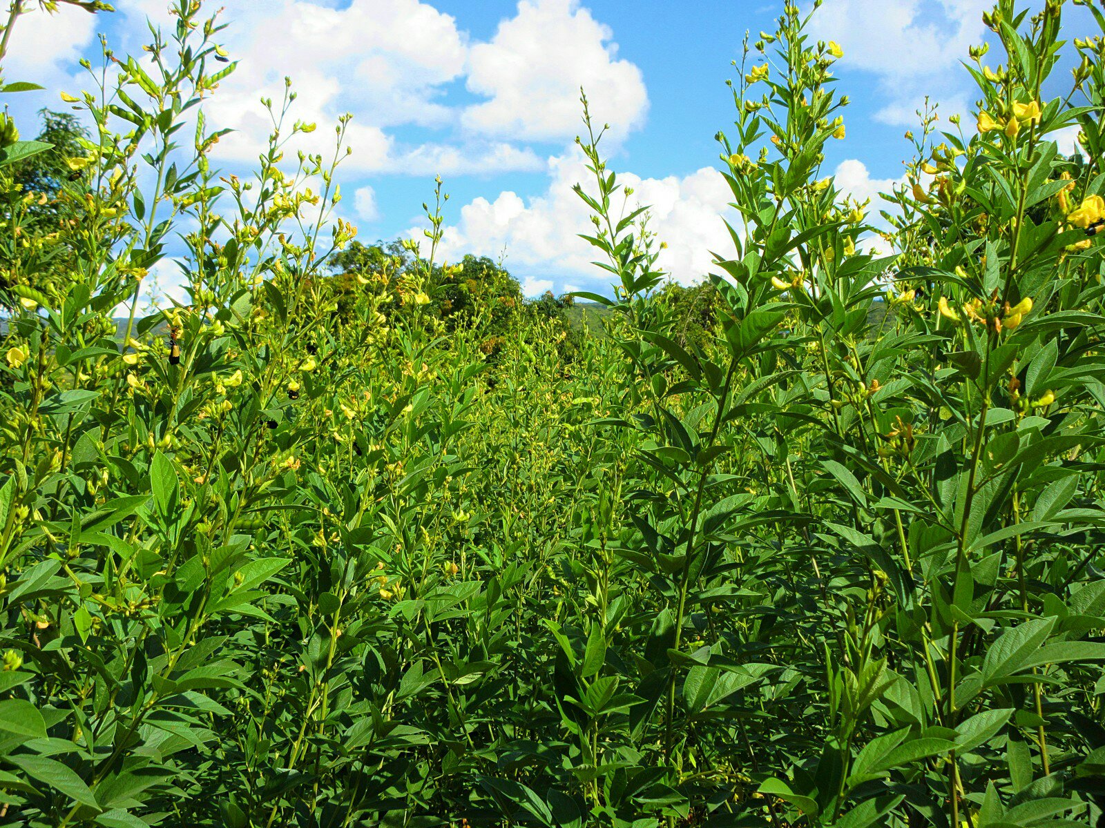
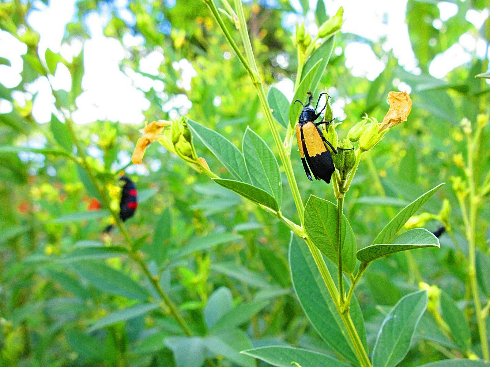
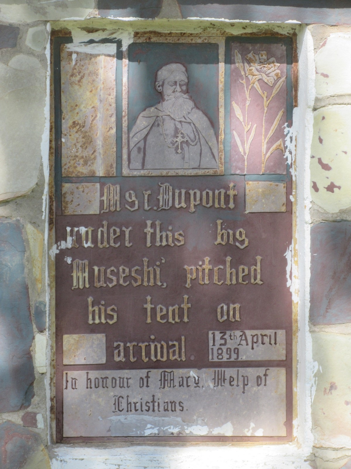
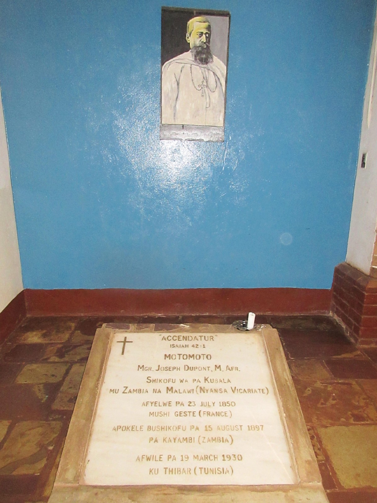
I of course learned a great deal about Zambia and by extension Sub-Saharan Africa. Maybe I shouldn’t say “of course” because so much of the history of this area is poorly documented, or the connections are poorly explained, or both, and learning about the history and culture of this place takes a special effort. It’s really easy to live here for two years and never ask why things are the way they are. I am especially glad I wound up living in the Mbala region, because there are so many different things here to lead you down rabbit holes of history and culture. It was a quick mention of the SS Good News that lead me to learn all about the London Missionary Society, the Stevenson Road, and how and why colonialism came to Northern Zambia. Poking around more leads you to the slave trade, and the revelation about how much the slave trade affected so many different aspects of culture and the distribution of people, even this far from the coasts. These days I tend to think that instead of turtles all the way down, it’s the slave trade, linking everything from the Bantu migration to the modern-day borders of Zambia and Tanzania. That’s a history that is hard to find until you look. I also love the pre-history of this place, reaching all the way back to man’s earliest uses of fire, and I love to think about the unbroken chain of people all living in this very spot.

In the modern-day, it is fascinating to catch glimpses into a national psyche that both prides itself on being a Peaceful Nation (how different is that from the American ethos?) while also being proud of their history of supporting the freedom struggles of other Southern African countries. Every time I go down to Lusaka, I pass the bombed-out Chambeshi Bridge which attests to the pain Zambia has felt for helping others throw off the chains of colonialism. Like all cultures, Zambia can be a mix of contradictions, both declaring itself to be a Christian Nation while having people sue each other over witchcraft in the courts, or watching the country reconcile pride in tribes and traditions while also being One Zambia, One Nation. Seeing what goes on in Zambia also gives insights into American culture, because a lot of the things an American might find distasteful about Zambia, from a lack of infrastructure to child marriage, weren’t all that weird in America not so long ago. Living in a foreign culture can do a whole lot to put your own in perspective.

The most significant parts of what I learned in the Peace Corps is really just an actual understanding of things that maybe I knew beforehand only intellectually. Before I came to Zambia I was aware that people lived on $1/day (I guess the more modern definition of “extreme poverty” is actually $1.90/day, adjusted for purchasing power parity) but I didn’t really know what that meant. Now I know what it is actually like to cook on a brazier. I know what it is like to get all your water from a stream that may or may not be muddy any given day, and is the same stream where people wash their clothes and small children. I know how much effort and time it takes to hoe ridges, plant the seeds, and spend a rainy season weeding to get the same amount of beans that sells for a few dollars at the market. I know how much it sucks to walk three hours to town only to be told to come back tomorrow and hike three hours back in the equatorial sun. Early on in service I found plans for a “low-cost” solar dryer that was supposed to only need $10 worth of parts. Now I know asking a guy to build that could be the same thing as asking him to not send his kid to school for the next year.

One thing I learned that is especially hard to glean from just numbers is the impact of infrastructure and its secondary effects. I think about the schools in Zambia a lot. Around me there are three schools, and none of them have water or electricity. They are all located 10-20 kilometers away from the nearest “big” town (Mbala) down dirt roads that can be downright treacherous in the rainy season. Besides the obvious difficulties of teaching subjects like “computers” in a school without electricity, the most insidious effect I think is how hard it is to retain teachers. Qualified teachers are, by definition, people who have gone to college and are used to Big City Living. Even if they grew up in a village, most don’t want to go back to living in a place where they fetch water from a stream. So the schools can’t retain teachers; as soon as they can, the teachers leave for jobs in town. This diminishes the quality of education these kids could possibly receive, all else being equal, and means it is impossible to maintain clubs or other empowerment projects long-term. Even things like administrative tasks are made harder. At a nearby school I have worked at, there is one government teacher (the rest are volunteer teachers from the community). Whenever he needs to do basic admin tasks, like print out tests, he has to go to the school board office in town, which means he has to spend the whole day there and the students are deprived of the one person at the school actually qualified to teach. Living here I have seen how the lack of infrastructure contributes to a cycle of illiteracy and poverty that would have been hard to understand if I had never witnessed it for myself, first-hand.

Saisi Battlefield

Kamba Hill

I’ve really stretched out the content on this site, but over the second to last weekend in April I went to go visit the Saisi Battlefield. This is an expedition that Colin from the oft-referenced Mbala / Abercorn Facebook page asked me to go on. In the midst of the Centenary Celebrations, a Saisi Battlefield Park was set up, as detailed in this YouTube video. This park, according to Colin (and now me), appears to be in the wrong spot. So Colin asked me to head out to investigate.

This was a fun little adventure and will be (was, by time you read this) my last adventure in Zambia, provided the trip to ringout goes smoothly. It is located about 65km from me and so it took me a while to get around to going there because it was a multi-day trip. I set off the first day and made it to Katie’s, where we searched for Mama Meli, and the next day Katie and I biked to our friend TJ’s house, who lives pretty near the battlefield. It was a very pleasent bike ride, being mostly downhill, and had very pretty views as we rounded the escarpment and biked down into the valley.

The information we were operating off of when it came to the site comes from A Soldier’s Burden, which seems to be a book detailing some of the battles of WWI, an excerpt of which you can find here (it was also used as the basis for that YouTube video above). The battlefield map from Soldier’s Burden is above, and clearly is of Kamba Hill (8°56’12.0″S 31°44’12.1″E), as opposed to the location of the Saisi Battlefield Park, located much closer to Mt. Sunzu. Some things make sense about this to me and some things don’t. I don’t actually know the exact provenance of the map, but if it was made by someone who was at the battle then yeah, we’ve got the spot right. The rivers on the map are a lot wider and marshier in real life, and could provide good defenses, but the map shows the man-made defenses facing towards the south when the Germans (this was a British fort) were coming from the north. The site also apparently had a garrison of several hundred people, but the area of the entrenchments is not actually that big I think you’d be hard pressed to fit that many people into the fort. But I am no WWI expert. Nonetheless, we forged ahead to check out the site!

TJ and Katie, adventuring with me.

TJ was very enthusiastic about this project, and is a bit of a WWI enthusiast himself, but didn’t know he lived so close to a battlefield until I told him. He asked around his village and got a lot of information for us which was cool. After arriving at his house we went over to the hill and climbed to the top. Our goal was to find more concrete evidence that this was the site.

Unfortunately, the evidence for that was mixed. We didn’t find anything like old bullets or guns, and none of us were experts on century-old trenches. The above picture is me standing in a semi-circle of stones that we thought (based on some other stuff we found on the internet) might have been a gun emplacement of some sort. Again, it faces the south, and I don’t know why that would be, but it appears those stones were put there by people. Whether that was villagers or the British. Over on the east side of the hill I found some things I thought could be trenches, though to be fair they could be furrows or just natural formations. What a century can do, ya know? Like I said though, TJ had asked around the village and the people living there were clearly familiar with it having been a battle, and even told TJ about weapon caches to the north, in Tanzania. So pretty neat!

One of the more interesting aspects of this adventure was the crowd we gathered. The hill is mostly covered in tall grass and we had actually accumulated quite a number of children followers before we noticed. Since they were short (being children) they were only a few feet from us in the tall grass before we spotted them. Good thing they weren’t velociraptors. In the above picture you can sorta see the string of children following us down the hill. They’re only that visible in the above picture because we taunted them a bit by asking if they were scared of us; they claimed they were not.

So all in all a good adventure. As it got dark we climbed off the hill and went back to TJ’s house and had a relaxing night. I sent a lot of the pictures I took and my thoughts about the site to Colin, and he is talking to some other historians he knows and trying to pin down some more information about the battlefield. Yet another potential tourist attraction in Zambia totally under-used. Imagine the gift shops the villagers could run! This is an important piece of history in the Mbala region and I hope it gets documented, and soon.

Mama Meli / Mama Mary

Reading this week:

  • Hyperion by Dan Simmons

There are MAJOR new updates to this story, available as of December 13, 2020, here.

Mama Meli is a classic story of trying to find obscure historical stuff in Zambia. I first heard of her because she is mentioned in any Zambian news article about slavery, and rightfully so. She is billed as the only known freed slave buried in Zambia.

The truth, it appears, is slightly more complicated than that. It appears she is famous because she got her oral history recorded in the book Women in Peril. You can read her entire life story, in her own words (and what I assume excerpt from the book), in this linked PDF. I recommend reading it, but as the short version, she lived quite the life. She was born in 1880 (there are different dates stated) in Northern Zambia, near Kawimbe. As a small child, she was captured in what must have been one of the last Arab slave raids in the area. This was a violent capture and the slavers killed her parents. She was transported to near what is now Nakonde, where the slavers tried to sneak past a mission established to combat these slave raids. Due to some trickery, the slavers were discovered and stopped, and their slaves freed. Mama Meli was taken back to Kawimbe where she was taken in by the mission there. In a nasty frying pan/fire situation, in my opinion, her relatives discovered she was at the mission and tried to claim her, but the mission demanded the exorbitant price of a cow for her release because she was such a hard worker. She was eventually married off but lived a rather full life, going through three husbands and working as a midwife all over Northern Zambia. She eventually died at the age of 102. If you just think about the span of her life, she was born at a time when she was at risk of being captured by Arab slave traders and lived a chunk of her life having never even seen shoes, and died in the independent, relatively wealthy Republic of Zambia.

And, according to sources, she is buried at Kawimbe, which happens to be right where my friend Katie lives. So I went up there to try to track down Mama Meli (it’s not her original name, but she was eventually named “Mary” by the missionaries, and in the local patois this gets transformed into “Meli,” and all the written sources refer to her as “Mama Meli”). Katie asked around before I got there, and was told that Mama Meli is buried somewhere on the old Kawimbe Mission grounds (there is a new Kawimbe Mission) in an unmarked grave. Sweet. So after I arrived at her house we set off to find the location of the old mission, and something that could be her grave.

To cut a long story short, we were unsuccessful in finding Mama Meli. No one quite knows the location of the old mission exactly, and as I said we were looking for an unmarked grave. But after we asked a little old lady we found, she did direct us to a pretty cool old mission graveyard.

First off, we never would have found this thing without the nice lady. The above picture is of the graveyard from the path. It isn’t until you’re in it and on top of it that you find anything, and man what you find is cool.

Hidden throughout the grass are a whole variety of graves of missionaries that died in the area. The earliest grave we found was from 1898 and the latest from 1925. This brings me to the point of this article, which is a long lament for Zambia’s efforts at tourism.

Later in the day we went to go greet Katie’s counterpart and discovered that he was hosting at that moment the local chief, Chief Fwambo. I took the moment to try to impress upon him my thoughts on getting more tourists to Zambia, and Mama Meli is a great case. She has a great story and would be super popular with any tourists in the area with even a faint interest in slavery or its effects on the area. But to find out about her you have to follow closely Zambian newspapers, and then have some idea where Kawimbe is. And once you’re there, there is noting to guide you to the right spot to look. No one that we talked to is even quite sure where her grave is, though apparently her grandchildren live in the area and I think they would know. It would be so cheap and easy to put up a sign with some background on Mama Meli, marking her gravesite or at least the old Kawimbe Mission site. Put another sign or two along the road (again this is cheap; a piece of wood and some paint) and man the tourists would come like flies. Then, just stick with me for a minute here, what if, and just what if, the say, nearby Moto Moto Museum, in conjunction with the Mbala Town Council, assembled a scenic byway map or something. They could list all the important historic sites in the region (having put signs in those spots, as well), and put that information on a map/brochure that tied together the history of the region, from prehistoric times to the Bantu migration to Arab slavery to missionaries and colonialism to the freedom struggle (Mbala even has Zambian Freedom Struggle sites!) to the modern republic and just made it easy to find all these sites and to literally put Mbala and the environs on the map! Not to mention the natural beauty and crap! And man, like, if some local enterprising entrepreneur trained up a taxi driver or two in some of the historic significance, and came up with a set price for the tour so you could just call up Steve or whatever and pay him K500 to have him drive you to all these sites in a morning or afternoon and explain something of the history and I’m telling ya like overnight Mbala would be the tourist destination it dreams of being. I swear this wouldn’t be expensive and there are already like a dozen people that work at the Moto Moto Museum that could put this together, easy.

So yeah. Thank you for coming to my TED Talk.

Izi Falls: Getting Back

Setting off.

The evening at Izi Falls was relaxing, but it was the next day we were dreading. We were already tired and sore from getting to the falls, and now we had to get back. My bike was busted, it was largely uphill, and we didn’t know if the weather would hold. We dawdled setting off but eventually packed up our gear and head out.

The view from the nice old lady’s shower.

We had decided the night before to hire some guys to haul our stuff out to the last big village we passed on the way to the falls. That would put us pretty near the main road and on relatively flat terrain. We hiked back to where we had locked our bikes, which wasn’t too bad, and Alli dropped her stuff and went on ahead to find some help. I was gonna get the bikes ready to go and hopefully find my missing wheel nut.

My wheel nut was a lost cause on the hill covered in weeds, and grass, but I busted out some of Alli’s tools (my toolkit got stolen a while back) and managed to jerry-rig a wheel nut using some of the hardware from my toolkit mounting rack (which I didn’t need because again the toolkit had gotten stolen). I was pretty proud of myself and head up the hill to meet up with Alli and our recently hired porters.

One last look back towards the falls, with the valley filled with clouds.

Hiring dudes to carry all your crap is a $5 well spent, lemme tell ya. It was Alli’s idea and it was a good idea.

Having help hauling all of our stuff out made the going a lot easier, but it was still hot and a heckuva walk uphill. At least the sweeping vistas of the second largest lake in the world were still there to keep us going.

The guys took us all the way back to the village, where the road now began for us. It was still a few kilometers to the main road, and we were already tired, but we were hoping to catch a canter on the way back once we hit the main road. There was nothing to do but keep biking and eventually we hit the main road. Unfortunately, a canter did not immediately materialize and there was nothing to do but keep biking back towards home.

This portion of the trip was actually pretty okay. The road is very good and it had gotten cloudy, which made it less hot. It was raining all around us, it seemed, but not on us yet, so the clouds were a welcome relief. At one point we stopped by a tuck shop for some sodas and of course our visit was quite the event. One or two minibusses passed us going the other way saying they were going to Mpulungu, which confused me, but we pressed on.

Again, the whole trip is comprised of sweeping vistas. This picture is overlooking the Lunzua River valley, with the village of Mwenda at the bottom. There was rain coming from the south, which was ominous, but I hoped that our weather luck would hold.

We zoomed down the escarpment, which from the picture you can tell was a lot of fun, but it was on this part of the trip that the rain finally hit us. So we hustled into Mwenda and luckily there was a shelter that we could hide under.

Stuck in the rain in Mwenda.

While we were waiting for the rain to let up, Alli made friends with the local ladies selling bananas while I took a look at the map. Eventually it dawned on me that all these minibusses that were going to Mpulungu, but somehow not passing through Mbala, were taking a road that went from Mwenda to the main, tarmac’d Mpulungu road. And, it should be all downhill. I convinced Alli that instead of taking the safe, known road straight to Mbala, and biking 23km or so, on average uphill, we should zoom the 10km downhill on the Lunzua river road and then catch a minibus to Mbala. She was convinced and off we went!

Going down that road was super cool! It was very foggy when we went down the road, since it had just rained, and so the whole valley had a sorta spooky-cool mist-shrouded thing going for it which was awesome. And along the way we came across all the infrastructure for the Lunzua hydroelectric station, and that was super cool to check out. The feeder pipe for the power plant is in the above picture. We came across the abondoned construction camp, which had some really cool signs with diagrams on them.

I didn’t know this place existed, and I am a sucker for signs with diagrams on them, so it was really neat. The sun came out right as we hit the end of the dirt road and arrived at the tarmac, so it was possible to believe that the valley was always cool and mist-shrouded and maybe haunted. From there, we just had to catch a minibus (which impressively bunjied our bikes to the back) and we were back to Mpulungu.

I had meaning to go on this trip for like, two years, ever since I learned of the existence of Izi Falls, and just never got around to it. Every time I bike home I get a wide vista of the whole escarpment from Mbala to the lake, and I had always wanted to bike that route. My time here in Zambia is coming to a close and if Alli hadn’t pressed for the trip I probably wouldn’t have made it. If you ever get the chance to bike and canter and hike 100 or so kilometers off the beaten path in Mbala, I recommend it.

The escarpment and home.

Izi Falls: There

The falls!

Reading this week:

  • Doctor No by Ian Fleming

We came across the falls suddenly when we finally arrived. We had to cross a small river, walked through some woods, and were stunned to find a household almost right on the edge of the cliff. We said hellow to the nice old lady who lived there, and she lead us down to the river and finally we were at the falls!

I got hella vertigo taking this picture.

Pool at the top of the falls.

View over the edge of the falls.

When we got to the falls we were dehydrated and woozy from lack of food but both of us immediately set out to explore. I climbed down from the river crossing to try to get to the very edge of the falls. Alli went off to explore the far cliffside to get a good view. All day we had been joking about the phone call we’d have to make if one of us fell off the falls, this far from the nearest road or transport. I didn’t know at the time where Alli had gone, and started to get worried that she had actually fallen off the cliff. Luckily she hadn’t, and she actually got some pictures of me crawling on my belly to look over the edge.

I was worried about rain so after exploring and getting some food into us, we set up camp. The best spot was actually right near the edge, and I tried to avoid thinking about just rolling off the edge. There were signs of a camp fire so other people had the same idea we had before. Our spot gave some pretty awesome views of the valley beyond the falls and was sorta shielded from the roar of the water.

With the tents set up the next major goal was swimming! Over on Abercornucopia, they note there is a pool at the top you can swim in, and I think this was the major draw for Alli. The water was pretty cold but after a whole long day of getting to the falls it was pretty nice to relax and wash the sweat off. If you sat in the right spot it was like getting a water massage, and if you pulled your feet up you could pretend the water was sweeping you off the edge of the falls.

After swimming it was a pretty quiet evening. I started a less than impressive fire, but it was warm enough for two people and we watched as it slowly turned to nightfall. We were hoping to see the lights of the fishermen on the lake from our vantage point, but I guess they were taking Sunday off. I brought camping gear to Zambia with the notion I would hike off into the woods and camp places, and this is the first time I actually did that. Totally worth it.

The next morning I woke up before dawn and got to catch the sunrise coming up over the hills. Mpulungu (again, from a distance) was absolutely gorgeous in the morning light and I wish more people could make it out to see all of Zambia’s amazing sights like Izi Falls.

Izi Falls: Getting There

Alli, about to ford a river on the way to the falls.

Reading this week:

  • How to Hide an Empire by Daniel Immerwahr
  • The Passion According to Carmela by Marcos Aguinis

So although the Zwangendaba burial site thing was a fun little mini-adventure, the real adventure this weekend was to go to Izi Falls. Izi Falls, aka Mpona Falls (which I am like 90% sure means “Falls Falls”) is located to the west of Mpulungu along the Tanganyika escarpment, overlooking the lake. The easier way to get there is to take a boat from Mpulungu and then hike up to the bottom of the falls. But every time I bike home I see the whole escarpment in the distance, running from Mbala to the lake, and that is the route I wanted to bike. This turned out to be quite a thing.

On the map it doesn’t look so bad. If you go over to Google Maps and look at the satellite imagery, there is a road that runs most of the way there, along with what looks like a bush path and then maybe 2.5km of bushwhacking, tops. So my friend Alli came along and I am glad she did because she made like all the good decisions. We arrived in Mbala on Saturday to spend the night so we could set off early as possible the next morning. We bought some supplies and made peanut butter & jelly sandwiches for the trip.

We set off as soon as it was light the next morning and started down the road. That road is actually really nice. It is a fairly wide dirt road and well maintained. The whole of Mbala is made up of sweeping, gorgeous valleys, and this road did not disappoint. We didn’t know anyone who had come down this way before and everyone is missing out. There were hills, but the first 20km or so weren’t so bad. But then we hit the escarpment. By virtue of not having gone down, really, we were halfway up the escarpment, but needed to go the other half, and there is a fairly steep switchback. This is the point, though, that gives you the first really grand view of Lake Tang.

Lucky for us though, about halfway up the path a canter came by and agreed to give us a lift. They were carrying sand to a farm down the road, and the guys in the back were pretty friendly, especially after I coughed up five kwatcha for some booze. They took us another 20km or so down the road. There was one moment that really had us worried though; we said we were going to Izi Falls and at the point where we thought we should get off they told us to stay on, and then took us off the main road down a path I did not recognize. When you are trying to navigate unnamed roads via Google Maps Satellite images though, it’s hard to recognize anything, and in the end it turns out they were right. Our canter ride came to an end after another 5km or so at the canter owner’s farm. He offered us lunch and to store our bikes for us, but we were anxious to make more headway and afraid to leave our bikes with him. We probably should have taken him up on both counts.

So we set off down the road towards another village. In this village I started to get upset, because two white people rolling through on bikes attracts the whole village and this annoys me more than a little. We were going down the way we thought we were supposed to go, but some men insisted it was the wrong way and wouldn’t let us proceed. Then there was a committee of six dudes or so that somehow couldn’t quite point us down the right road. Eventually one dude broke out and showed us the way, and so we escaped the village.

The path from this point got less and less reassuring. We were told there was a village down the path, but although in some places the path looked well-worn in others it looked barely travelled. There were plenty of cultivated fields though, so that gave us some confidence. The steep downhills meant we should have ditched our bikes and just walked, but we were too stubborn for that, and so we continued.

What the path lacked in walkability though it made up for in stunning vistas. It was at this point that we sorta busted out of the forest and got to the edge of the escarpment, giving us stunning views of the whole Mpulungu valley and beyond. We were above a lot of the rain so we could look kilometers in the distance to see storms over far away villages. Frankly I think Mpulungu is best admired from a distance and if we had never got to Izi Falls I would have been satisfied with this vista.

But continue we did and we eventually found some homes perched on the edge of the escarpment. I am always amazed that people live in places like this, hard to reach and on a steep hill, but I guess Zambians like the view, too. Here we were getting discouraged because we thought we would have been to the falls hours before, we were hot, bringing the bikes was increasingly evident as a mistake, and every person we talked to kept telling us the falls were “very far.” Whenever you get told things are “very far,” though, sometimes that means it’s 20km away, and sometimes it means it is 2km away and they just think it’s far for us. Lucky for us in this case it appears to have been the latter.

Past these houses we stared to make our final descent into the valley at the top of the escarpment that holds Izi Falls. The falls are hidden until you’re right on top of them, so we couldn’t actually tell we were getting close, so it looked to us like we just had more and more difficult hiking ahead. Here we finally ditched our bikes by locking them to a tree, and here tragedy struck because I lost the wheel nut to my bike. This meant my front tire couldn’t stay on and this was gonna make biking 50km out of here the next day very difficult. But that was tomorrow’s problem and so we forged ahead.

Zwangendaba’s Burial Site

Me at the burial site.

Reading this week:

  • The Spy Who Loved Me by Ian Fleming
  • Live and Let Die by Ian Fleming (pretty racist)
  • Tangerine by Christine Mangan

So today (as I write this) I went to go see Zwangendaba’s Burial Site. Zwangendaba was a Zulu warrior king who was displaced from South Africa, along with his clan, as King Chaka consolidated power in the Zulu Kingdom. Zwangendaba and his people spent the next 30 years trekking north, eventually reaching modern-day Tanzania where Zwangendaba was hit by a poisoned arrow and died. He was buried where he fell and like 180 years later I went off to visit him.

The hitching point, where I spent a long time standing in the sun.

I set off from site, got to town, had some breakfast, and then biked down to the Nakonde Road, getting there at about 1000. I was hoping to catch a hitch pretty quickly and these dreams were slowly dashed. I stood there for hours. At one point a family posted themselves about 50m up the road from me, flagging down potential hitches before I could. I found this a little unfair, but eventually they got into a semi which I couldn’t do because I was bringing my bike along. At about noon I calculated when I would have to quit, based on seeing the gravesite and biking to Nakonde before sunset, and concluded I would have to give up at 1300. But then, at 1252, a bus arrived and I was off.

As Zambia goes, this is relatively well-marked.

This is Zambia, and directions are difficult, but the two Zambian heritage books I have both mentioned the site being about a kilometer south of the turn for Nachipeta School, so I told the conductor I wanted to be dropped at Nachipeta School (The coordinates are not listed on the internet, so for the internet’s sake, the Zwangendaba Burial Site Coordinates are: -9.316637, 32.485966). This they were kind enough to do, and so I found myself at the side of the road with nowhere to go. The turnoff for the school goes north, and to the south there was nothing but gorgeous landscape. Sliiiiightly distraught, I started biking towards Nakonde, and managed to spot a small corrugated metal sign spray-painted green and labelled “Zwangendaba 1.2km.” Neat! I followed the road it pointed down, and when the road diverged several times without follow-up signs I always took the widest of the paths and found myself at the CAR PARK.

Success! I found the site! It’s not much to look at. It’s pretty much in this dude’s front yard, and is very well kept, and has a nice sign, and is really just a pile of rocks. So neat. I looked around. A crowd a kids gathered. I had the dude take a picture of me. I said thanks and head out.

At least the views on the way to Nakonde were nice.

Here I began my 30km trek to Nakonde. This is the reason I brought the bike; I didn’t trust my luck hitching (I mean last time took 3 hours), and plus I wanted some freedom of movement in Nakonde. So I threw on my headphones and started biking, figuring it would be about 2 hours of biking until Nakonde. This didn’t take into account the important fact that it is apparently like, all uphill to Nakonde. You go from being in the wide valley between the Mbala Escarpment and the Muchinga Escarpment and start climbing up the Muchinga side and it sucks, lemme tell ya. I was low on water and hungry and running out of daylight. I took care of the first two by ducking into a tuck shop (I got Fanta and cookies, which didn’t really solve the problem and only postponed it) but I had to just keep moving for the last one.

I finally got to Nakonde right as it was getting dark. Nakonde is like, trucker central, and a large chunk of it is truck parking, which doesn’t help the weary traveller on a bike. I passed one or two seedy looking lodges but kept going. This was getting dangerous because of the trucks, and with the falling light I almost ate major shit in a huge pothole but caught myself in time. Panicking, my lodge standards were lowering, and now I was heading uphill again into town so it was going to take forever, and I was contemplating camping somewhere (I had a tent with me for the next adventure I’ll write about) and like, ahhhhh, when I spotted a lodge. What lodge was it? It was the Zwengendaba Fresh View Lodge. I figured it was fate and pulled in. At check-in I told the receptionist that I had in fact just come from the Zwengendaba Burial Site. He said, “Oh, they didn’t have rooms there?”

Harvest Bounty

Reading this week:

  • Colonel Roosevelt by Edmund Morris
  • The Old Patagonian Express by Paul Theroux

I’ve got adventures planned for this weekend, but in the meantime a garden update. The biggest thing is that my pigeon pea has finally really grown into the pigeon pea forest I wanted. The whole yard of pigeon pea is about 6-7 feet tall, and I like to duck in between the rows and be in my pigeon pea forest. The photo at the top is taken inside the rows at about eye level to give you the real good on-the-ground feel of it.

My biggest surprise this year is that it seems that pigeon pea is primarly pollinated (around here anyways) by these rather large beetles, so as I am wandering around in the pigeon pea these guys keep taking off and flying around with a loud buzz. I took some glamour shots:

The pigeon pea, as evidenced by the beetles, is still flowering and isn’t ready for harvest yet, but most of the rest of the garden is. The groundnuts (peanuts) are almost ready, though I don’t really know how to tell when they’re ripe. They’re edible but not like, the peanut you (I) expect so I’m giving them some more time. The soya, however, is ready to go. Tell you what though man, beans are a hassle. They’re low to the ground and you have to shuck them and I only have so many podcasts downloaded. I guess protein is cool but yeesh.

The other day, however, I yanked the season’s first orange-fleshed sweet potatoes out of the ground, so that was a momentous occasion. They’re pictured above, along with the soya beans. I’ve been harvesting carrots for a while now, but I thought I would show them off. Carrots have consistently been my best and easiest crop. The white thing is supposed to be garlic; garlic was the very first thing I planted, a while back, and it seemed to grow really well, but now it won’t go beyond that stage into like, garlic. The bulb above though still tastes like garlic, and I don’t know if I just need to wait longer but I won’t be around forever and so I’ve just been pulling it up and using it like that.

To celebrate this bountiful harvest, I made soup. I make soup every night for dinner, so that’s not actually special, but this soup was mostly stuff I harvested like, just that day, so that’s pretty neat (I also added some market-bought onion and tomato and of course spices). It was thoroughly edible, if I do say so myself.

Chilubula Mission

IMG_1508.jpg

Today in esoteric Zambia history, I visited Chilubula Mission. I’m in Kasama this week hanging out (I guess nominally doing work and putting my life in order), and as part of my quest to see as much random Zambian history as possible (and keep adding places to Atlas Obscura) I decided to bike on over. The place is about 40km west of Kasama, so not impossible to get to by any means, but a hefty little bike ride.

Chilubula Mission’s claim to fame is being founded by Father Joseph Dupont, aka Moto Moto, the namesake of the Moto Moto Museum in Mbala. Joey there was a Catholic Missionary with the White Fathers and managed to be the first missionary, apparently, to get a toe-hold in the Bemba empire. Without judging one way or another the effects of missionary work on native peoples, he apparently did a lot to learn about Bemba tradition and culture. So in 1899 he managed to get permission to set up a mission in Chilubula and set about building the very nice and very large church in the photo above.

The mission itself these days is pretty amazing. Between there and Kasama there is not a whole lot. There’s gorgeous landscapes of the Zambian plains and a good number of homesteads dotted here and there, and even when you turn down the road to the mission there’s not a whole lot. Then suddenly you’re in this well-developed area with electricity and a very nice looking clinic and a Girl’s Secondary School and I was very pleasantly surprised. There is even a mini-mart with refrigerators and some good fritters that I stopped at on my way out.

IMG_1504

IMG_1501

It was easy to identify the church when arrived because like, it is big, so I got off my bike and wandered around. Out in front of the church I spotted the above marker, which claims to mark the spot where Father Dupont pitched his tent when he first arrived at Chilubula and presumably went about building the mission. I poked around a bit more and asked a passerby about the grave, and was pointed into the courtyard behind the church. There, wandering and looking lost, I eventually accosted an official-looking dude who was very nice and found me a guy with a key to the church to show me the grave, it being inside the church.

IMG_1511

Father Dupont didn’t actually die anywhere near the mission, having left in 1911 apparently because he was a little imperious with discipline. He died and was originally buried in Tunisia, though apparently in 2000 they moved his remains and re-interred him in the above spot, just to the left of the sanctuary of the church. It’s a much nicer grave than some of the others I have seen. Besides their famous dead dude, the mission also apparently has some WWI history, having served as a refugee for people fleeing the fighting. So that is very nice indeed.

Having poked around the Mission successfully, I picked up some fritters and head out to complete the second half of my 80km round trip. I got very sunburned, stopped by a place claiming to have rock art, failed to find rock art (because I also failed to find the attendant), got stung by some insect with a very quick and nasty sting, and then eventually made some late lunch/early dinner. An average day.

Pioneer Cemetery

Reading this week:

  • Born a Crime by Trevor Noah
  • She by Henry Rider Haggard (namechecks the Zambezi!)

Feeling glum after not climbing Mt. Sunzu, I wanted to get something out of the trip, so I looked again for Mbala’s Pioneer Cemetery. I thought I had mentioned it before here, but I guess not. During the colonial days of Zambia, colonials of course died here every once in a while, and were buried in a cemetery. Zambia’s Heritage Comission has dubbed these “Pioneer” cemeteries, which strikes me as problematic, but eh I guess. Anyways, we got one in Mbala. I had looked for it before, but hadn’t found it, but hey, now I have.

Frankly, it should have been pretty obvious. It is located on Cemetery Hill. Cemetery Hill is interesting as the most likely location of the “original” site of Chief Zombe’s village. “Original” refers to whenever white explorers decided to roll through the area, and in this case that white explorer was none other than David Livingstone himself. Over on the oft-sited Mbala/Abercorn Facebook page, there was quite a discussion for a bit as to where exactly David Livingstone met Chief Zombe and crossed the Lucheche River. It was never quite settled, but Cemetery Hill strikes me as the most likely. Chief Zombe’s village is currently located about 15km north, and apparently villages used to move around when enough people died, because the village would want to move away from all the dead people. Hence, I suppose, Cemetery Hill.

In my defense, the last time I poked around Cemetery Hill, I did in fact find a cemetery. It was just the currently-in-use one. The Pioneer Cemetery is a bit separate from the most recent graves. Plus, it was easier to find this time around, because they spruced it up for the Centennial, which is nice. As you can see in the top picture, it has a nice sign and a plaque out front, but as you can see in the picture right above since then it has gotten a bit overgrown (it’s the rainy season; stuff grows fast). The reason they cleaned it up for the Centennial is because this cemetery was the original resting place for many of the (white) soldiers that died in Northern Zambia during WWI. After the war they were exhumed and reintured at that cemetery I never found in Ndola (where the Polish Monument apparently actually was). In addition to the soldiers, the cemetery also of course had notable figures from the early colonial days, also relevant to WWI.

To circle back to the Polish thing for a second, the other significant part of the cemetery is the number of Polish graves located there. Mbala was home to one of several Polish refugee camps in Southern Africa and in Zambia. These were people fleeing the Soviet Union in Poland following WWII. Since Polish people lived here they of course also died here, and were buried in the Pioneer Cemetery. A few years back the Polish Embassy in South Africa apparently came up and spruced up the graves, so the ones in the cemetery have a uniform, taken-care-of look and are topped with steel crosses.

I am a minor fan of cemeteries because of what they say about the people who lived in a place and about the history of a place. Finding the Pioneer Cemetery was really cool for all the history it contained, and it would have been a major whiff to leave Zambia without visiting. It is right outside of town, and if you ever find yourself in Mbala make sure to visit.